
As we can see in this image, in the past there was a somewhat incorrect idea of the dimensions and shape of the British Isles. In the case of Ireland, it appears too large when compared to the island of Great Britain. You have all the information in: «Political, physical and tourist maps of Ireland«.
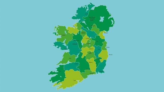


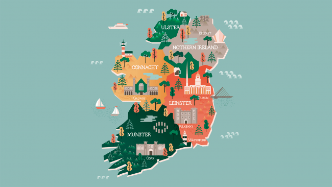

You have all the information in: "Political, physical and tourist maps of Ireland".