To know the geography and political division of Peru it is necessary to have complete maps. In this article, we offer you detailed maps of different types and areas of the country, as well as interesting information about the country and some of its most prominent tourist places.
Below you have an index with all the points that we are going to deal with in this article.
Article Index
- 1.
- 2.
- 3.
- 4.
- 5.
Political map
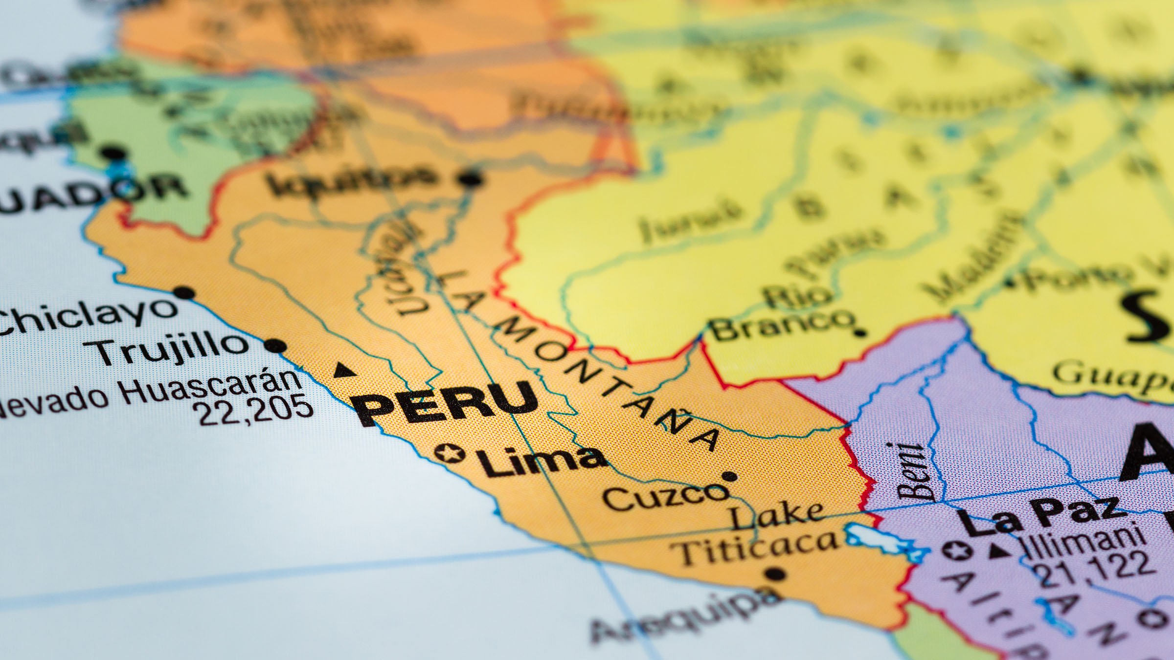
Peru is a country in South America that borders Ecuador, Colombia, Brazil, Bolivia and Chile. The political division of this territory is made up of 24 departments and a Constitutional Province (Callao), areas that some people call regions. These are the departments and the capital of each one of them:
| Department | Capital |
| Amazon | chapapoyas |
| Ancash | Huaraz |
| Apurimac | abancay |
| Arequipa | Arequipa |
| Ayacucho | Ayacucho |
| Cajamarca | Cajamarca |
| Callao | Callao |
| Cusco | Cuzco |
| Huancavelica | Huancavelica |
| Huánuco | Huánuco |
| Ica | Ica |
| Junin | Huancayo |
| Freedom | Trujillo |
| Lambayeque | Chiclayo |
| Lima | Lima |
| Loreto | Iquitos |
| Madre de Dios | Puerto Maldonado |
| Moquegua | Moquegua |
| Pasco | Cerro de Pasco |
| Piura | Piura |
| Puno | Puno |
| San Martin | moyobamba |
| Tacna | Tacna |
| Tumbes | Tumbes |
| Ucayali | pucalipa |
In this political map with names you can see where each department and capital is located. As we can see, the largest department is Loreto:

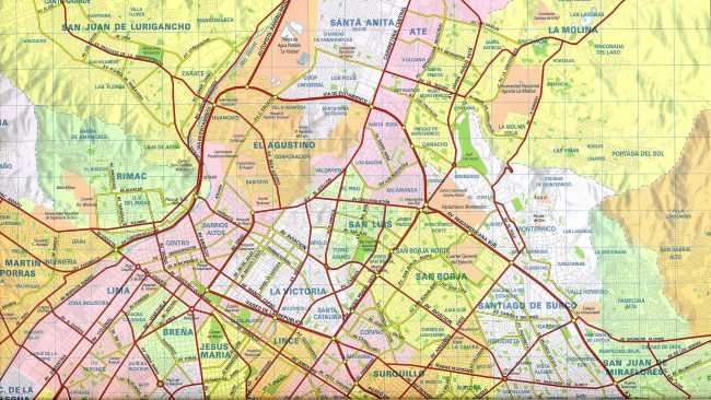
Within the province of Lima, where the capital (which is also called Lima) is located, we find 43 districts different. In this image we find those located in the interior of the province:
Physical map
Peru has an area of 1.285.215 km², making it the third largest country in South America. The element that stands out the most in its relief is the Andes mountain range.
This divides the country into three parts: the mountains, the coast and the jungle. In the mountains the highest peak in the State is located, Hascaran, with 6.768 meters above sea level The jungle is located in the east and is the largest part of the State.
Among the rivers that originate in Peru, we find the Amazon, which is the longest and most mighty in the world. In this physical map you can observe in detail the geography of the country:

Road map
Peru has 137.000 km of highways that connect all the major cities of the country. According to its National Highway System (SINAC), we find four different types of roads:
- International road network
- roads that connect with neighboring countries.
- National road network
- the three main axes, which are the coast, the mountains and the jungle.
- Departmental road network
- those that pass through a single department.
- Rural road network
- they connect the capitals of provinces or districts with smaller populations.
In this image you can see where the main roads of the country run and what towns they pass through:

Touristic map
In this original tourist map we find drawings of the main attractions of Peru and their location. Among them we have Machu Picchu, Arequipa, the cataract Gocta and Nazca:

If we focus on Machu Picchu, a surprising and mysterious town that was built before the XNUMXth century, we can see its shape and distribution in this plan:

Old map
In this map we find the territory of Peru and Bolivia in 1860 (XNUMXth century). In this year, both countries were already independent from Spain, so their colonial era had ended:

As we can see, the territory of Peru has not always been the same, but has varied throughout its history. For this reason, it is interesting to find old maps that reflect what the country was like in the past.
This article has been shared 67 times. We have spent many hours collecting this information. If you liked it, share it, please:

