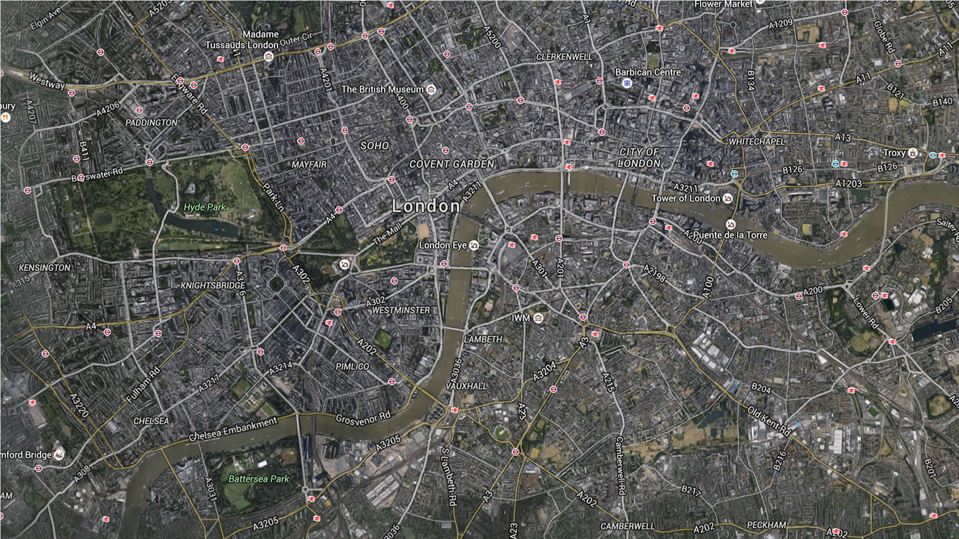
Image shows a photograph of London via satellite. In it, you can see how the River Thames divides the city into two parts. In addition, it highlights the territorial extension of Hyde Park, to the left of the map. You have all the information in: «London Maps«.


You have all the information in: "London Maps".